Trout creek rifle buck tag

BCS

Active Member
Messages
162
My 12 year old son drew this tag. Obviously my expectation was he would not draw, accumulate a point, and get a first time buck tag for a unit I am familiar with. I am open to any suggestions or advice. We are headed down tomorrow to scout and get an idea of the country. He killed a cow a few weeks ago on a youth elk tag which gave him a lot of confidence and lit the fire in him.

Screenshot_20240926_180356_Gallery.jpg
 
I don't think there's any one place that's better than many others. there have been fires in recent years so I'm not sure how much has changed, but most of the better bucks I've seen have been near aspen and mahogany. the Skyline road is your best access and you can turn off that on many other roads.

It's been a few years since I hunted it but I took a 190" buck with double drops off the head of McDermitt Creek. he came out of the aspen right at the end of shooting light.

Your boy was very lucky to draw that tag, probably the best one in the state. be realistic on your expectations and you should have a great time.
Do you access the skyline road from mcdermott? Is it also know as disaster peak road? Thanks
 
I've never been all the way through , but I get on it off the Whitehorse road out of Fields. it's a pretty decent road, guys take RV's up it but I would want to take a big one .

Not sure where Disaster Peaks is.
 
I've never been all the way through , but I get on it off the Whitehorse road out of Fields. it's a pretty decent road, guys take RV's up it but I would want to take a big one .

Not sure where Disaster Peaks is.
Disaster peak is in Nevada not far from the border.
 
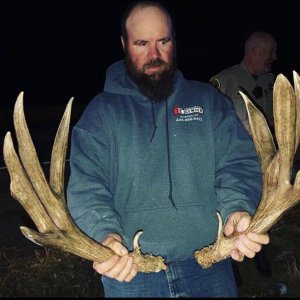
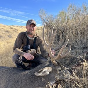
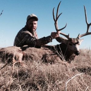
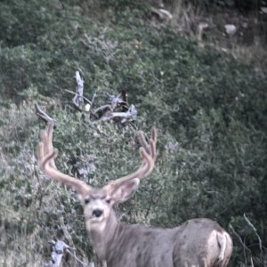
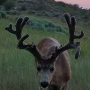
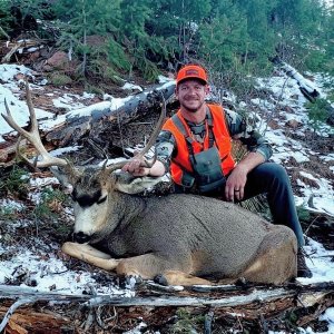
Correct, disaster peak proper is in nevada...there us a "disaster peak" wilderness study area on the oregon side. Togwottee thanks for the info....we drove all over to get the lay of the land. Because this tag typically takes a lifetime to get I won't be shy with naming areas... we looked into and saw deer in north fork of mcdermott crk, saw deer in trout creek, and a few fingers that dump into trout creek. Drove up cottonwood creek looking for access until we hit a house right before the mountain and just turned around, but it looks like you can access a lot of country off the "trout creek" road from the cottonwood creek road. Lots of country "learned" and a few deer sceen..... my take away tough hunt for a 12 year old, will he kill a buck...yes, great country and habitat, what I saw after a quick glance, I wouldn't wait 20 years to hunt it, I wouldn't wait 5 years.....maybe I just know a few units in eastern oregon where I live better... hopefully I eat crow and when we really start glassing deer we see more bucks.
 
There's always a few good bucks in that unit. while there aren't a lot of tags you'll probably see some pressure from landowner tag hunters and they'll be all over the public ground. they know what they're doing because they hunt it every year, so if you're where they are you're doing something right.

In a previous post I said I would take a big RV up there. as you probably know now I meant I wouldn't take a big RV up there. compared to the other roads it's a good one but that's relative.

From that top road down to Grouse springs is where I saw the most bucks, you can go clear down to Willow hot springs on the roads there. a 4 wheeler or UTV would be a real asset if you have one.
Yeah, I understood what you meant on the first response about pulling trailers.... question, do you have any experience on east side of the unit.... oregon canyon country/blue mountain area. I maintain a radio repeater on blue mountain...when I finally get there from work traveling from vale it's mid day in the summer -all I have seen from driving up blue is antelope and sheep- still not counting out oregon canyon and that side of the unit yet....any thoughts or experience?
 
Last edited:
Back
Top Bottom