Terraserver

T

TSC (Guest)

Guest
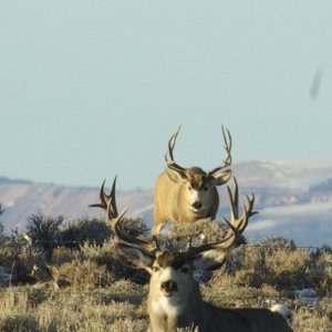
How many people use this? I have found it to be an awesome scouting tool, especially where aerial photos are available. I just enjoy trying to locate isolated pockets to check out once I draw. Maybe I'm just bored.
 
I also find it to be a awesome tool for scouting. I go back and forth from my Natinal geographic topo programs to the arial photo's to get an idea of the lay of the land.Technology is cool.
 
Awww, now you went and told everyone my secret. Awesome tool.

Stan
 
this is great if you can pre scout prior to the season to get the lay of the land- ie "eye ball to eye ball"- everything looks different in the day light!
I use maps all the time but much rather eye ball the area

going to be a great hunting season!
 
Bucksnort.... Do you use the National Geographic topos with a GPS and if so which one? I have the Garmin E Trex Legend and want to get the topo for it just wondering if you can use the NG or you have to use the Garmin topos.
 

Click-a-Pic ... Details & Bigger Photos
Back
Top Bottom