I typically provide the kill information I have. That is the information reported by successful hunters when they check in their animals. Location of kill data is typically quite general: a drainage name, road name, mountain, or some other landmark in the vicinity. And frankly, getting the information even to that scale is sometimes challenging, as some folks are not familiar with the country. Further, many animals are checked in other regional offices where staff may also be unfamiliar with the geography. For example, a kill location of "Panther Creek" in Unit 28 is not particularly helpful, because probably 3/4 of the unit is within the Panther Creek drainage. Kind of like getting an answer of NoTellUm Ridge...
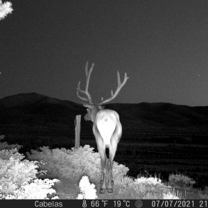
I frequently supplement answers with information about general areas where animals are observed during surveys, but because we fly exclusively in late winter, those areas aren't very useful for finding animals on summer range. Lastly, for sheep and goat, when you look are harvest locations over time, in most areas you find that animals have been harvested in most or all of the drainages in the hunt area.
I'm sorry this gentleman was not satisfied with the information he received. He probably spoke with me, but it may have been someone else in the office as well. Based on feedback from hunters who contact me, most seem appreciative and find the information helpful.
Tom Keegan
IDFG Salmon Region Wildlife Manager
")