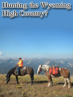
If you want to start cheap, you can get a 1:100,000 scale BLM map of that area and it will show the private in white, state land in blue, the BLM in yellow/brown, and the National Forest lands in green so you can get a decent look at the area. Those maps are shown right in the online F&G application booklet and each area has a name to order it. If you want to go up in price and get a map of the entire North American continent with all the land ownership in different colors like I did this year, you can get the DeLorme Topo North America 9.0 DVD from Cabelas for $100. I just got that mostly for use outside the state of Wyoming. For Wyoming I'm using a CD ROM that covers the entire state and it looks just like the BLM maps I mentioned that you have to buy individually. The great thing about both programs is that you can zoom in to really see where the roads, streams, and other land features are and then print your own map with waypoints. I got the Wyoming one a number of years ago for $50 right through the F&G online store, but they quit selling it several years ago for some reason. I make my own maps with it and put waypoints for boundaries so I can match them up with my GPS when I'm out there on the ground. The DeLorme also has that feature, but I've found the colors in that program aren't as easy to see. However, it is nice because it not only shows the coordinates, but also comes up with a line that tells you right on the screen what the land ownership is for wherever you move your mouse pointer. That would be good if you're color blind! I also just bought a new Garmin LegendHCx GPS a couple weeks ago and I'll probably buy a Wyoming microSD chip for it so everything is right on the color screen without even having to upload or download stuff or make a paper map if I don't want to. If you have about any Garmin that takes microSD chips, then the huntinggpsmaps.com website is where I'd go to buy it.
 Urge 2 Hunt