Look on a BLM map for ownership. It will identify blm, forest service, private, indian, state lands and more.
If you have questions regarding the private, identify the township, range, and section and go get a plat map of that township range and section from the County Recorder.
The plat map will identify all the ownership boundaries.
At this point, you don't have to go on what anyone has told you, as you will know the ownership boundaries as well as anyone.
If you want to reference the t, r & s with an aerial photo I use mapcard.com. They give a few trials and its $20/year if you need it more.
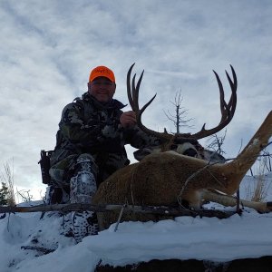
I made up some maps for a place we hunt last year. A neighboring land owner tried to kick my father-in-law off some public land. He was able to say with confidence to the guy "you haven't looked at a map of your boundaries have you." The guy admitted he didn't know the boundaries exactly and it was over.