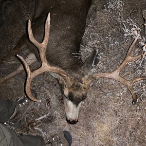
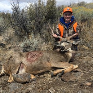
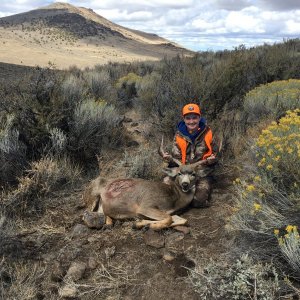
As a NR and had a tag in Eastern Or, for Antelope or say the Steens for deer is this a good map for showing water holes including BLM stock tank's? Or what map would you buy?
Thank You
Rick
Rick, I have used mytopo.com, topozone.com, USGS 7.5 minute maps and Google earth. See which works best for you. Make sure you scout it and check it right before season, as some are bone dry once season starts!
when i hunt a new area the first thing i do is buy as many maps of the area as possible. i use a ram map then a BLM and a forest service. normally the BLM is the best. but i like to have all three just to cross reference
Thank guy's I do the same thing. I love looking at maps. Seems like everytime I run into a Game Warden they have a better map than I do, and they just say we get them through are office. Thanks Blue MTN I have looked at Googl Earth and the BLM maps. BLM is usally so out dated, land trades new water ect,. Just wondering if Big Sky or Ram maps are more current.
i usually start with a RAMS/Bigsky unit map. It gives you a good overview of the unit and shows unit boundaries. About the same scale as a Forest Service map. Then, when i have a better idea where i am going to hunt, i zero in with usgs topo maps. I will often take a hilighter and draw the ownership lines that are shown on the Rams or BLM maps