Backcountry navigator for cell phone

DonVathome

Very Active Member
Messages
1,728
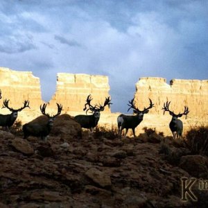
I just read about this $10 program in eastmans. Has anyone used it? My main question is do you have to pay for the maps you download? This could be a good thing to have to access public land near private but does it provide free info you cannot get anywhere else?

Would I be better off just buying the $100 sd card for my gps for each state that shows all public land in the state.
 
LAST EDITED ON Dec-01-11 AT 08:51PM (MST)[p]buy the GPShuntingmaps download version and make your own sd cards for your GPS.
Downloading the topos from Back country is cumbersome and you get no additional data.
 
+1 on using the GPS cards for various States. The issue with cell phone apps. is they are only as good as your cell service provider's signal and your reception. If you go into the backcountry places we go. You will have little or no cell service. Down in deep canyons and 50 miles in the backcountry off the pavement you are on your own...:) A GPS with topo can get you out of a serious jam where as a cell phone uses antenna signals and does not use the satillites... not a good safety tool relying on a cell signal. :)

))))------->
 
the new phones and pads have separate GPS chips and only require Cell for streaming maps that have not been downloaded to the phone and for finer location detection. Battery life on a GPS enabled smartphone is a killer though.
 
I use two on my Droid X2, Cabelas Recon Hunt and Backcountry Navigator Pro. My experience with Eastmans software is that everything costs extra to download or upload and the topos are scanned. The Cabelas Recon allows for adding trails, waypoints and other addons without any cost. Also you can build a file that is based on SAT photos and it is all uploadable to the phone for free.
 
I highly recommend backcountry navigator!!

You do NOT pay for maps and you do NOT need cell service for the app to work.

Once you have the app, you download maps into your phone (this is the only time you need service). You do it directly on your phone and is really easy. The GPS maps on the SD require a computer but I can download maps into my phone while driving to my hunting spots.

There are several options for maps including topo and satelite images. You can also purchase add ons for cheap that will overlay property boundries and and atv trails that are not available on regular topo maps. The developer also has mentioned that he is working on a overlay that would include hunt boundary maps.

My droid is a heck of a lot smaller and lighter than my GPS and it has a camera. The only downside to using the backcountry navigator as opposed to a GPS is the battery life is way better on a GPS than the phone (although it really helps the phone to turn it to airplane mode when you are out of service)

Sounds like you already have the phone and its only 10 bucks for the app, give it a shot.
 
Neverstophunting
You do need cell service to actually get first locked on for some reason. Meaning you could have the mapped loaded and get into the back country and then turn on your gps and it wont work. Its happens to me. Don't know why it has this bug but I've seen it happen on different phones
 
I do like the app and would reccomend it.

avatar_2528.jpg
 
I've never had that problem and i turn on the phone/app out of service all the time. I have heard that there was a GPS glitch similar to what you are talking about with the motorolas but i thought they had fixed it.

What phone are you using?

I've got a HTC incredible 2 and the app works flawlessly out of service.
 

Click-a-Pic ... Details & Bigger Photos
Back
Top Bottom